3.1.F. Regulating ES of Protected Areas
At the present stage, we do not have access to official data covering all Armenian PAs for the period after 2014, official digitized maps of PA boundaries, or land cover data specifically refined for the territory of Armenia. Therefore, the following analyses are based on the available digital PA map referenced below and the global ESRI land cover dataset.
The use of the ESRI land cover dataset for relatively small PA areas leads to significant errors in area estimation. In the examples below, we demonstrate only the type of analysis that can, in principle, be conducted for ecosystem accounting of PAs based on land cover data. All estimates are of methodological value only and should be refined using official PA boundaries and land cover data provided by the PAs.
This example of accounting for protected areas (PAs) is based on the PA map provided by Acopian Center for the Environment, American University of Armenia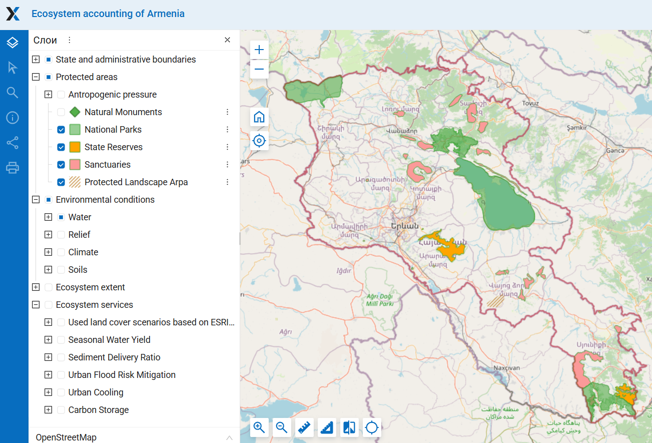
Figure 1. The map of protected areas of Armenia (for details see section Protected areas here)
ES of seasonal flow regulation and baseflow provision
In most PAs, the baseflow is lower than the national average for Armenia. However, in several PAs, it significantly exceeds the average values. The highest baseflow has been identified in Aragats Alpine sanctuary, Arpi Lake National park and Pine of Banx sanctuary, which are located in regions with relatively high precipitation. These three PAs are located in alpine, subalpine and meadow-steppe vegetation zones (see Fig.2 in the section on ecosystem extent in PAs), which are characterized by both a high level of baseflow and a high proportion of baseflow in the total water flow (see Fig. 8 in the section on this ES).
Figure 31F-2. Baseflow in PAs, mm
ES of flood risk mitigation
In most PAs, the runoff retention is higher than the national average for Armenia. The lowest values of runoff retention are observed in PAs located in the Ararat Valley, which has been heavily modified by human activity. The pattern for runoff retention differs from that of baseflow, as it reflects the influence of land cover and soil type, but does not account for topography.
Figure 31F-3. Runoff retention in PAs, m3/pixel
ES of prevention of erosion and sediment delivery to water bodies
Value of avoided erosion in most protected areas exceeds the national average for Armenia. This is explained by the fact that PAs are primarily composed of natural grasslands and forests, which effectively prevent erosion (see section on ecosystem extent in PAs). All PAs where Indicator avoided erosion exceeds 100 t/ha/year are mostly or entirely covered by woody vegetation, with the exception of the Goris sanctuary, which has a small forested area.
Figure 31F-4. Indicators of the ES of prevention of erosion and sediment delivery to water bodies in PAs
Carbon storage
Сarbon content in soil in the PAs fluctuate around the national average for Armenia. PAs located in the semi-desert zone have the lowest soil carbon content. The total carbon stock depends primarily on the size of each PA. The highest carbon stock in tree biomass is found in Dilijan National Park, which has the largest forest area (Figure 5).
ES assessment for small PAs based on low-resolution maps is not advisable. For example, for the sanctuary Sev Lich, are inaccurate due to the low resolution (250 m) of the soil carbon map used (Figure 6). The carbon map we used accounts for carbon content only in terrestrial ecosystems, assigning a value of zero to water bodies. The sanctuary Sev Lich includes part of a water body. Due to the low resolution of the map, pixels with zero values overlapped significant part of small terrestrial area of this sanctuary. As a result, both the average soil carbon content and the total carbon stock in this PA are significantly underestimated.
Figure 5. Carbon content in soil and total carbon stock in PAs

Figure 6. An example of a significant error in estimating carbon content in a small PA is observed in the case of the sanctuary Sev Lich.